|
The turn off to Ubehebe crater and the Racetrack valley road is just after the
Grapevine Ranger station.
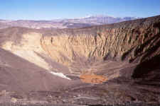 Ubehebe Crater. Click on image for
a larger view. Ubehebe Crater. Click on image for
a larger view.
The surrounding area is covered with, what looks like, volcanic debris.
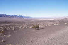 The surrounding area. Click on
image for a larger view. The surrounding area. Click on
image for a larger view.
The road now becomes 20 or so miles of single track washboard (what fun).
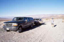 The team stops to allow our fillings to
settle back into place. Click on image for a larger view. The team stops to allow our fillings to
settle back into place. Click on image for a larger view.
As you progress down the trail, the scenery becomes the dominating factor.
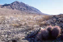 Barrel cactus and Tin
Mountain. Click on image for a larger view. Barrel cactus and Tin
Mountain. Click on image for a larger view.
Further and higher down the road the Joshua trees flourish.
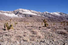 Joshua tree forest. Click on image
for a larger view. Joshua tree forest. Click on image
for a larger view.
The road now heads to Teakettle Junction.
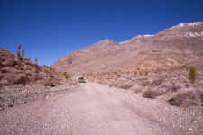 Just before Teakettle Junction. Click
on image for a larger view. Just before Teakettle Junction. Click
on image for a larger view.
Finally the Racetrack and Grandstand come into view. In February 1995 the playa was
flooded. You can just make our the Grandstand in the picture below.
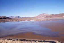 The Racetrack, Grandstand and
flooded playa. The Racetrack, Grandstand and
flooded playa.
Needless to say, we did not see any tracks of the moving stones.
|